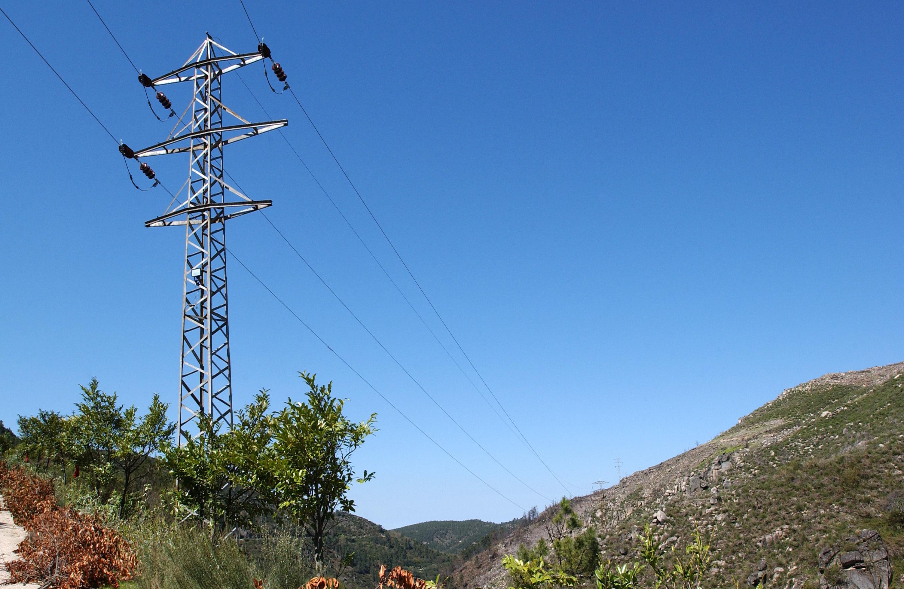
For E-REDES, as a distribution system operator, asset management and vegetation management are key components in the prevention and anticipation of failures and incidents, which would have a negative impact on the network and its different stakeholders. Despite the good practices used, and the various technological means employed, the intention is to continue to innovate in grid management and its coexistence with vegetation. In this context, the Earth Observation for Vegetation Management project aims to analyse the use of advanced analytics on images collected by satellites in the management of vegetation in the vicinity of high and medium voltage networks.
This technology was implemented in response to two use cases:
- Identify plant species in the proximity of the overhead grid, estimate their height, condition and growth.
- Assess the implementation of interventions to open protection zones and secondary fuel management strips, using analytics on satellite imagery.
Remove Margins
Remove Top margin of the component
Remove Bottom margin of the component